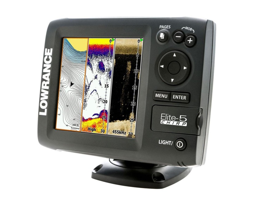
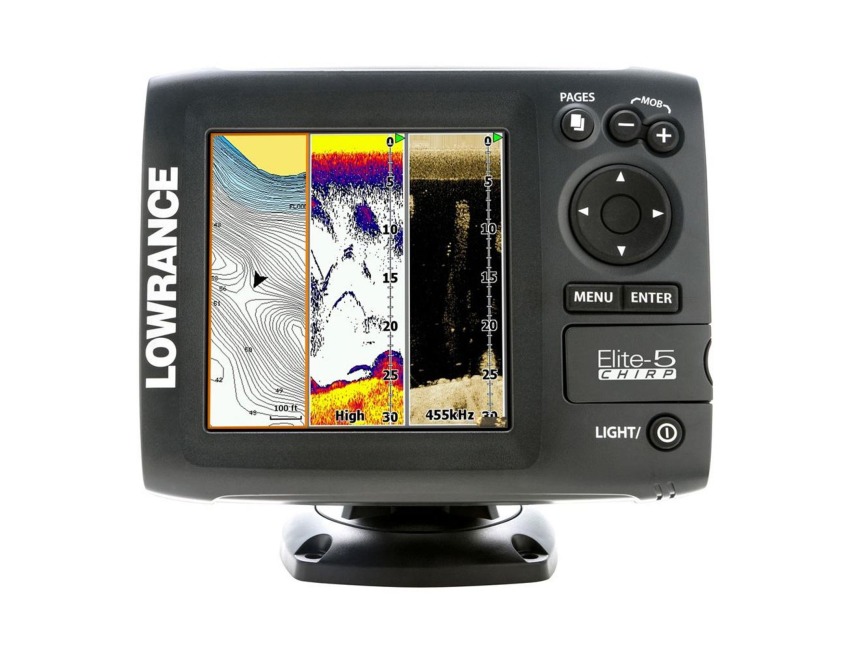
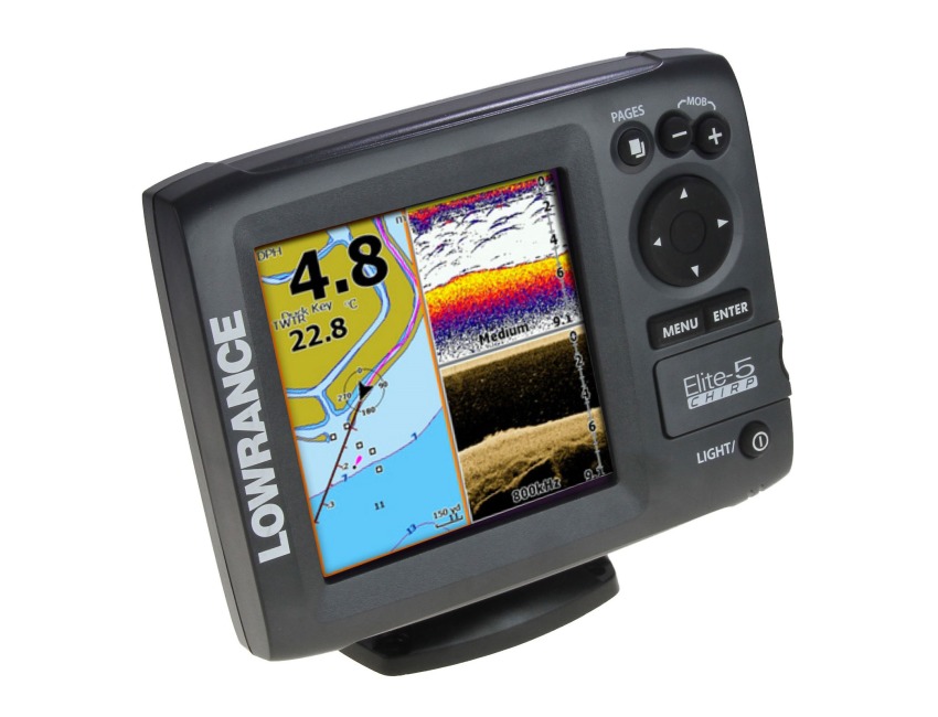
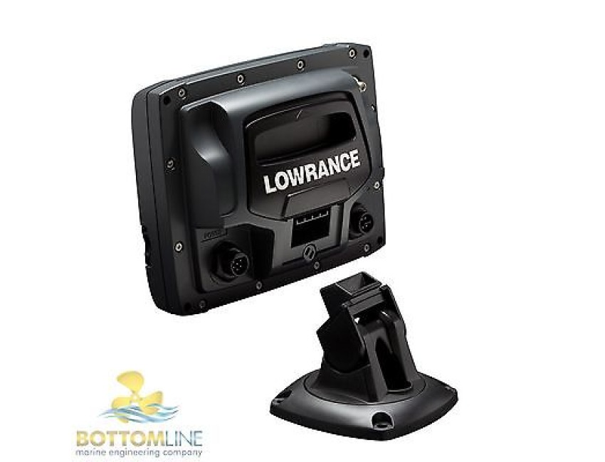
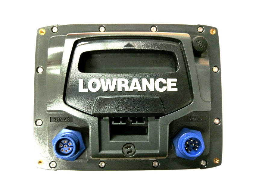
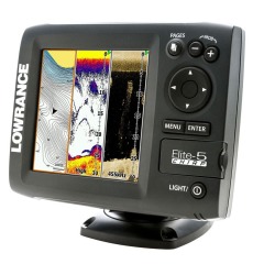
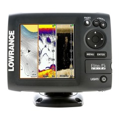
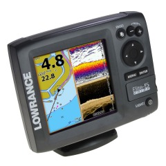
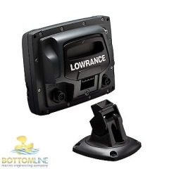
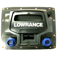
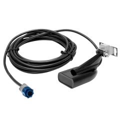
Lowrance Elite 5 Chirp c/w Bracket + Power Cable (No transducer)
Code: 1
MPN: 000-11647-001
Delivery Information
Currently we only deliver to the UK (inc. Northern Ireland), Channel Islands, Norway, Australia, New Zealand, Canada and USA for online ordering - please contact us on sales@bottomlinemarine.com if you live elsewhere.
Free shipping on UK orders over £75 (£5.95 for UK orders under £75)
Excludes certain heavy items
All prices include UK VAT - No customs or duty fees for UK orders
Description
Lowrance Elite-5 CHIRP Chartplotter / Fishfinder (No transducer or cartography)
Supplied with mounting bracket and power cable. - No retail packaging
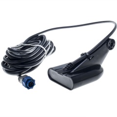
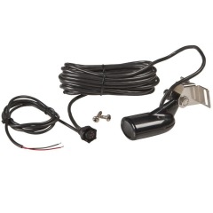
Any Lowrance / Simrad 7-pin 'Blue plug' Transducer will operate with this unit.
FIND:
- CHIRP sonar technology: Combine the power of two CHIRP ranges for the ultimate in target separation and noise rejection
- Hybrid Dual Imaging (HDI): The power of two award-winning technologies -- Broadband Sounder™ PLUS Exclusive DownScan Imaging combined to provide the best possible view of the water column and everything in it.
- DownScan Overlay: Exclusive technology overlays DownScan Imaging onto Broadband Sounder display for one stunning view that separates and clearly exposes fish targets from surrounding structure. Overlay transparency and color palettes are fully adjustable.
- TrackBack: Easily scroll back in sonar history to review covered areas and pinpoint spots (saves time and fuel trying to re-trace your path). With chartplotter models, simply mark a waypoint at your cursor location with the press of a button.
- Advanced Signal Processing: Reduces manual adjustments to automatically see fish, structure and bottom detail more clearly.
NAVIGATE:
- Reliable Navigation That’s Easy To Use
- Highly accurate, built-in GPS antenna plus a detailed U.S. map with more than 3,000 lakes and rivers, as well as coastal contours to 1,000 ft. A micro SD card can also be used to display Lake Insight and Nautic Insight HD and PRO cartography, as well as Navionics Gold, HotMaps Premium, Fishing Hotspots PRO and Jeppesen C-Map Max-N Wide charts.
- Create your own map from real sonar data that you record with the online Insight Genesis map creation service
- Allows users to make their own custom, high-resolution contour, bottom hardness and vegetation maps from recorded sonar logs.
DOMINATE:
- Elite-5 Color Display: Lowrance-exclusive, high-resolution, 5-inch, color display provides brilliant visibility and viewing detail in all conditions.
- All-New Page Selector: An easier-to-use menu system with quick access to all features using one-thumb operation.
- Multi-Window Displays: Choose from as many as eight preset page layouts, including up to three panels in split-screen mode to view chart, Broadband Sounder and DownScan Imaging all on one screen simultaneously. Multi-Window view can be accessed while viewing live sonar and charting.
- Supported by Lowrance Advantage Service program and limited one-year warranty.
Specifications:
Display:
- Display Size: 5 inches (127 mm)
- Display Resolution: 480 × 480
- Display Type: 256-color SolarMAX™ PLUS TFT
- Display: Backlighting | Fluorescent cold-cathode
- Backlighting Levels: Adjustable Screen And Keypad
Sonar:
- Sonar Frequency: 50/200 (Low and High CHIRP) OR 83/200 (Medium and High CHIRP) + 455/800 kHz (*Available frequencies determined by - connected transducer)
- Broadband Power: 500W RMS
- Sonar DownScan Max Depth 455/800 kHz: 300ft (91m)
- Sonar Broadband Max Depth 50/200 kHz transducer: 2500ft (762m)
- Sonar Broadband Max Depth 83/200 kHz transducer: 1000ft (305M)
- Sonar Alarms: Fish, Shallow
- TrackBack: Yes
- Temperature Readings: Yes
- GPS/Navigation
- GPS Antenna Type: Internal high-sensitivity WAAS + EGNOS + MSAS (optional external antenna)
- Routes: 100
- Waypoint Storage: 3,000
- Plot Trails: Up to 100 trails - up to 10,000 points per trail
- GPS Alarms: Yes
- Background Mapping: World reference basemap and enhanced U.S.
- Basemap with over 3,000 enhanced lake maps with depth contour and shoreline - detail, plus coastal depth contours/shoreline detail and spot depth soundings to 1,000 ft./305 m
Mapping Options: Lake Insight™ and Nautic Insight PRO and HD
- Navionics Gold and HotMaps Premium, Fishing Hotspots PRO and Jeppessen C-Map Max-N Wide.
- Technical/Environmental
- Supply Voltage: 12 vDC (10-17 vDC min-max)
- Waterproof Standard/Rating: IPx7
- Product Width: 6.9 in (174 mm)
- Product Depth: 2.5 in (63 mm)
- Product Height: 5.4 in (136 mm)
- Languages: 30
- Micro SD Card slot: 1
- NMEA Output: NMEA 0183
Warranty - 6 months return to base.
Specification List
| Type | GPS Chartplotter / fishfinder | Sub-Type | Color screen |
|---|


