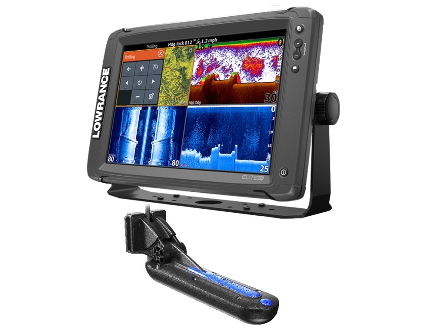
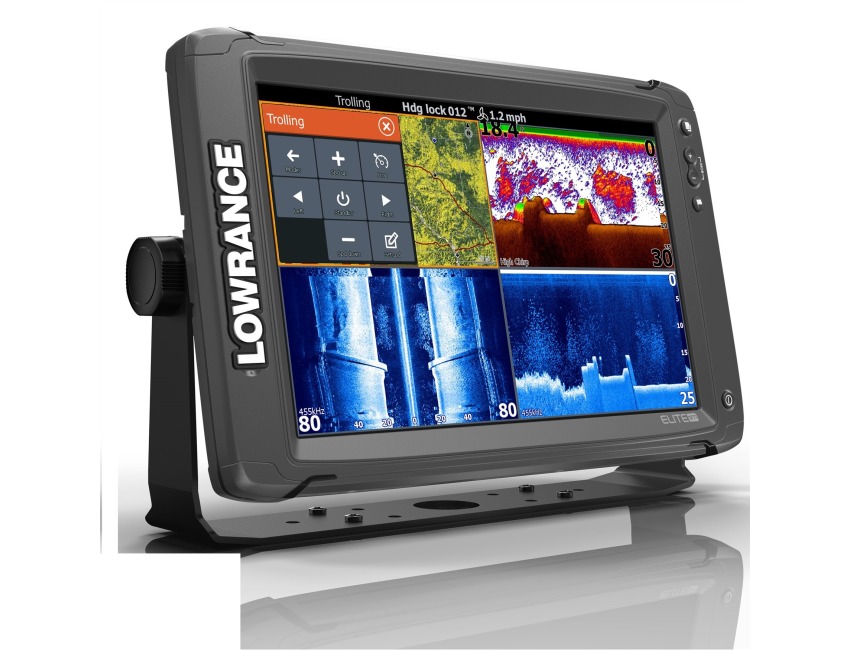
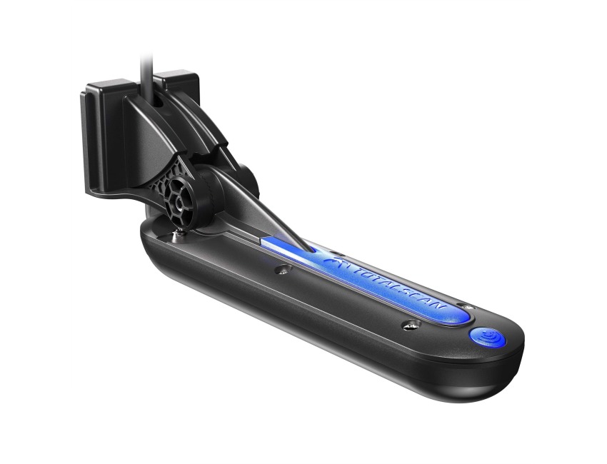
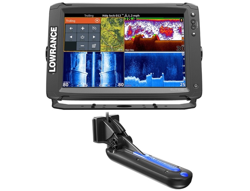
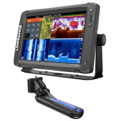
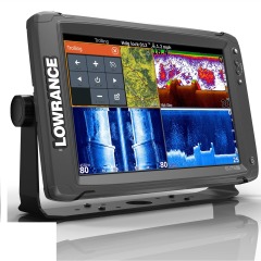
Lowrance Elite 12Ti Totalscan Chartplotter / Fishfinder c/w skimmer transducer
Code185668207005
MPN 000-13718-001
Delivery Information
Currently we only deliver to the UK (inc. Northern Ireland), Channel Islands, Norway, Australia, New Zealand, Canada and USA for online ordering - please contact us on sales@bottomlinemarine.com if you live elsewhere.
Free shipping on UK orders over £75 (£5.95 for UK orders under £75)
Excludes certain heavy items
All prices include UK VAT - No customs or duty fees for UK orders
Description
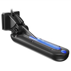
Lowrance Elite 12Ti Totalscan Touchscreen Fishfinder/Chartplotter with Mid/High/TotalScan Transducer (pictured)
(No Cartography)
The Lowrance Elite-12Ti is a touchscreen fishfinder/chartplotter that matches high-end functions and features with powerful performance all at an affordable price.
Sporting a massive twelve-inch, high-resolution touchscreen display, the Elite-12 Ti has your sonar needs covered with StructureScan HD compatibility and support for Low/Mid/High CHIRP and 83/200 /455/800kHz frequencies.
It has a built-in GPS antenna and reliable Lowrance navigation technology, allowing you to navigate with ease.
The Elite-12 Ti also features integrated Bluetooth and wireless connectivity that not only allows you to download software updates directly to the unit, but gives you the capability to download Insight Genesis custom maps to the unit for immediate use directly from the water.
Elite-12 Ti Key Features
Widescreen, LED-backlit SolarMax colour display
Simple, easy-to-use interface
Touchscreen provides fast, fingertip access to all Elite Ti features
CHIRP Sonar plus DownScan Imaging
Top-of-the line sonar technologies provide the best possible view of the environment beneath your boat
Review sonar and structure history with TrackBack
Highly accurate, built-in 10Hz GPS antenna and support for WAAS+EGNOS+MSAS
Built-in wireless connectivity provides access to the GoFree Cloud where you can shop, purchase, download and immediately use Insight Genesis social maps, and third-party maps from GoFree partners
Optional global chart upgrade options include Navionics + and Jeppesen C-MAP MAX-N
TotalScan matches proven Broadband Sounder and CHIRP sonar with SideScan and DownScan Imaging technology, making it possible to target fish and search for fish-holding structure with the same transducer
General
Display Size 12in (304.8mm) Diag.
Display Type WVGA color TFT LCD
Resolution 1280H x 800W
Backlight Pure White LED
Display Brightness 1200 Nits
Height 8.52in (216.39mm)
Width 13.03in (330.99mm)
Depth 3.20in (81.40mm)
Weight 5.50lb (2.50kg)
Environmental
Operating Temperature 5°F to 131°F (-15°C to 55°C )
Waterproof IPX7 with card door closed
DOC Part 15.103 FCC rules & CE RTTE directive 1999/5/EC
Electrical
Current Draw 1.8A @ 13VDC
with Backlight Full/Sonar Lock
Operating Voltage 12VDC
Supply Voltage 10.8-17VDC
User Interface
Interface Single-touch touchscreen and Limited Keypad; ZOOM +/-,WPT,LIGHT/POWER
Chart Plotter Characteristics
Display Modes North up, Course up (COG), Heading up (heading with external heading sensor or COG)
Built-in Cartography Low detail Basemap cartography
Add on Cartography Navico Insight HD, Navionics Platinum+/Platinum/Gold, Fishing HotSpots
Alarms No GPS fix, Anchor, Low boat speed, XTE, Waypoint radius, Arrival
Sonar Characteristics
Built-in CHIRP Yes
Built-in Broadband Yes
Built-in StructureScan Yes
Sonar Frequency Mid/High CHIRP (83/200kHz) 455/800 kHz DownScan
(*Available frequencies determined by connected transducer)
Broadband Power 500W RMS
Sonar DownScan Max Depth 455/800 kHz 300ft (91m)
Sonar Broadband Max Depth Mid/High (83/200 kHz) transducer 1000ft (305M)
Sonar Alarms Fish, Shallow
TrackBack Yes
Temperature Readings Yes
Comms/Interface
NMEA0183 1 x RS422 port
Supported baud rates 1200, 2400, 4800 (Default), 9600, 19200, 38400, 57600, 115200
NMEA 2000 1 Micro-C
Data Card Slot 1 micro SD card up to 32GB
GPS/Navigation
GPS Type Internal high-sensitivity WAAS + EGNOS + MSAS
Waypoints 3000
Routes 100
Trails 100 plots with up to 10,000 points per trail
GPS Alarms Anchor, Arrival, Offcourse
Background Mapping World reference basemap
Mapping Options Lake Insight and Nautic Insight PRO and HD, Navionics® Gold and HotMaps® Premium, Fishing Hotspots® PRO and Jeppessen C-Map Max-N Wide.
Specification List
| Type | Chartplotter-Fishfinder | Sub-Type | Chirp |
|---|---|---|---|
| Country/Region of Manufacture | Mexico |


